Recomienda este artículo a tus amigos:
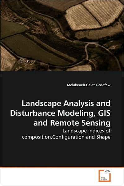
Landscape Analysis and Disturbance Modeling, Gis and Remote Sensing: Landscape Indices of Composition,configuration and Shape Melakeneh Gelet Gedefaw
Pedido desde almacén remoto
Nuestros clientes opinan:


Landscape Analysis and Disturbance Modeling, Gis and Remote Sensing: Landscape Indices of Composition,configuration and Shape
Melakeneh Gelet Gedefaw
Anthropogenic influences on natural resources have been leading to changes on land use/land cover and landscape ecology. These shifts cause immense natural habitat fragmentation, loss of biodiversity and environmental degradation. Quantifying changes on landscape ecology is an important input for natural resource planning to ensure sustainable development. GIS and Remote Sensing provide handy tool with this regard. Nevertheless, in developing countries, not much has been done using GIS and Remote Sensing techniques. This book presents methodologies relevant to quantify the overall dynamics of land use/land cover, rate of deforestation, ecological indices of composition, configuration and shape using remotely sensed data and GIS at class level. Furthermore, it depict GIS techniques employed to model landscape disturbance and spatial analysis, which has significant impact hydrology flux. Hence, this book makes significant contribution for sustainable ecosystem management and conservation to improve livelihood of the local people and the environment.
| Medios de comunicación | Libros Paperback Book (Libro con tapa blanda y lomo encolado) |
| Publicado | 26 de marzo de 2010 |
| ISBN13 | 9783639244816 |
| Editores | VDM Verlag Dr. Müller |
| Páginas | 96 |
| Dimensiones | 225 × 6 × 150 mm · 149 g |
| Lengua | Inglés |


![Cover for Beate Pottmann-knapp · Tiergestützte (Psycho)therapie: Wissen Für Diagnostik, Behandlung, Therapie, Prävention, Salutogenese, Resilienz, Förderung, Entwicklung, Begleitung (Paperback Book) [German edition] (2013)](https://imusic.b-cdn.net/images/item/original/369/9783639409369.jpg?beate-pottmann-knapp-2013-tiergestutzte-psycho-therapie-wissen-fur-diagnostik-behandlung-therapie-pravention-salutogenese-resilienz-forderung-entwicklung-begleitung-paperback-book&class=scaled&v=1416425000)