Recomienda este artículo a tus amigos:
Mesozoic and Cenozoic Paleocontinental Maps - Cambridge Earth Science Series A. G. Smith
Precio
$ 60,49
sin IVA
Pedido desde almacén remoto
Entrega prevista 23 de sep. - 12 de oct.
Recibe notificaciones sobre nuevos lanzamientos de A. G. Smith
Nuestros clientes opinan:


Añadir a tu lista de deseos de iMusic
Mesozoic and Cenozoic Paleocontinental Maps - Cambridge Earth Science Series
A. G. Smith
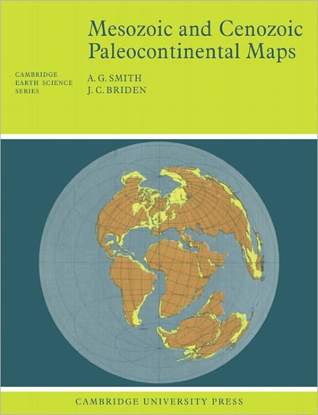
This 1977 book shows the positions of the major continental areas during the past 220 million years as four series of computer-drawn maps. All the maps are based on quantitative geophysical or topographic information: paleomagnetic pole positions, ocean floor magnetic anomalies, and best fits of the continental margins.
64 pages, 52 maps
| Medios de comunicación | Libros Paperback Book (Libro con tapa blanda y lomo encolado) |
| Publicado | 9 de junio de 1977 |
| ISBN13 | 9780521291170 |
| Editores | Cambridge University Press |
| Páginas | 64 |
| Dimensiones | 189 × 246 × 3 mm · 130 g |
| Lengua | Inglés |





![Cover for A. G. Smith · Phanerozoic Paleocontinental World Maps - Cambridge Earth Science Series (Paperback Book) [Rev edition] (1981)](https://imusic.b-cdn.net/images/item/original/586/9780521232586.jpg?a-g-smith-1981-phanerozoic-paleocontinental-world-maps-cambridge-earth-science-series-paperback-book&class=scaled&v=1503852282)





