Recomienda este artículo a tus amigos:
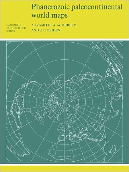
Phanerozoic Paleocontinental World Maps - Cambridge Earth Science Series A. G. Smith Rev edition
Precio
$ 60,49
sin IVA
Pedido desde almacén remoto
Entrega prevista 23 de sep. - 12 de oct.
Recibe notificaciones sobre nuevos lanzamientos de A. G. Smith
Nuestros clientes opinan:


Añadir a tu lista de deseos de iMusic
Phanerozoic Paleocontinental World Maps - Cambridge Earth Science Series
A. G. Smith
This 1980 book shows the positions of the major continental areas during the past 560 million years as four series of computer-drawn maps, which provide a framework on which a wide variety of data may be plotted. Cylindrical equidistant and Lambert equal-area polar projections are used, with a thirty-degree latitude-longitude grid.
106 pages, maps, bibliography
| Medios de comunicación | Libros Paperback Book (Libro con tapa blanda y lomo encolado) |
| Publicado | 27 de agosto de 1981 |
| ISBN13 | 9780521232586 |
| Editores | Cambridge University Press |
| Páginas | 106 |
| Dimensiones | 210 × 279 × 6 mm · 260 g |
| Lengua | Inglés |