Recomienda este artículo a tus amigos:
The use of geoinfomation technology in space-time monitoring Dyego Lins Da Silva
Pedido desde almacén remoto
Nuestros clientes opinan:


The use of geoinfomation technology in space-time monitoring
Dyego Lins Da Silva
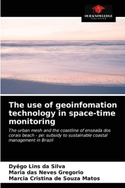
This book aimed to raise, measure, analyze and calculate the forecast of Future Scenarios, on the space-time monitoring of the urban network and the coastline of the beach Enseada dos Corais - Cabo de Santo Agostinho - Pernambuco, in the last forty-one (41) years; using the technologies of Geoinfomation (GPS, UAV, Geoprocessing, GIS among others), subsidizing the sustainable coastal management of this coast. For this, the methodology used comprises the use of current and past cartographic documents, such as: photographs of areas from 1974, 1981, 1997; and, field survey of the coastlines 2010 and 2015, using geodesic equipment and GPS/GNSS receivers, added to the survey and acquisition of aerial images by Unmanned Aerial Vehicle (UAV). The reference year for the calculation of the lines was 1974 and the other years. The results in the average rates of displacement of the coast line were 1.09 m/year (1974-1981), 0.31 m/year (1974-1997), 0.47 m/year (1974-2010), -1.06 m/year (1974-2015); presenting accelerated erosion from 2010. The research provides scientific data to support Coastal Management Plans.
| Medios de comunicación | Libros Paperback Book (Libro con tapa blanda y lomo encolado) |
| Publicado | 23 de agosto de 2021 |
| ISBN13 | 9786204028019 |
| Editores | Our Knowledge Publishing |
| Páginas | 64 |
| Dimensiones | 152 × 229 × 4 mm · 113 g |
| Lengua | Inglés |
Mas por Dyego Lins Da Silva
Mostrar todo


Mere med samme udgiver























Ver todo de Dyego Lins Da Silva ( Ej. Paperback Book )