Recomienda este artículo a tus amigos:
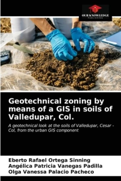
Geotechnical zoning by means of a GIS in soils of Valledupar, Col. Eberto Rafael Ortega Sinning
Pedido desde almacén remoto
Nuestros clientes opinan:


Geotechnical zoning by means of a GIS in soils of Valledupar, Col.
Eberto Rafael Ortega Sinning
A geographic information system (GIS) is a system used to describe and categorize the Earth and other geographies in order to display and analyze the information referred to spatially and through its use was reached an advanced conceptual model that revealed the geotechnical or geological problems of the soil, with which you can perform preliminary studies for works such as adaptations, amplifications and / or replacement of water and sewerage, among other engineering works. Geotechnical zoning of soils in Valledupar (Cesar) was performed by collecting data in various soil laboratories and obtaining samples. The database for the research was created. The soil types found were SC, SM and GW identified in all the communes of the city. The water table was found from a depth of 1.2 meters. The book contains the necessary information for the geotechnical studies of the area where it is concluded that the city can support foundations for building more than 10 levels; in areas with high percentages of gravel, these areas will be the most favorable to build.
| Medios de comunicación | Libros Paperback Book (Libro con tapa blanda y lomo encolado) |
| Publicado | 31 de agosto de 2021 |
| ISBN13 | 9786204002743 |
| Editores | Our Knowledge Publishing |
| Páginas | 56 |
| Dimensiones | 152 × 229 × 3 mm · 102 g |
| Lengua | Inglés |
Mas por Eberto Rafael Ortega Sinning
Mostrar todo


Mere med samme udgiver






















Ver todo de Eberto Rafael Ortega Sinning ( Ej. Paperback Book )