Recomienda este artículo a tus amigos:
Gis for Air Search and Rescue: a Heuristic Method for Air Search and Rescue Operations Emrah Söylemez
Pedido desde almacén remoto
Nuestros clientes opinan:


Gis for Air Search and Rescue: a Heuristic Method for Air Search and Rescue Operations
Emrah Söylemez
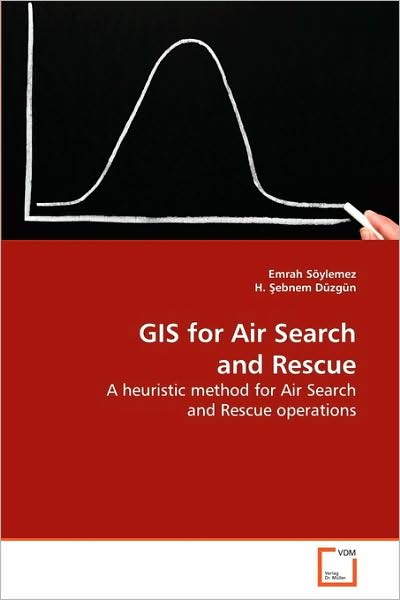
Search and Rescue (SAR) operations aim at finding missing objects with minimum time in a determined area. Limiting search area is the critical decision- making part for SAR operations. There are fundamentally two problems in these operations. The first problem is assessing highly reliable probability distribution maps, and the second is determining the search pattern that sweeps the area from air as fast as possible. This book presents use of geographic information systems (GIS) and multi criteria decision analysis (MCDA) in an integrated way within the framework of Search Theory. GIS helps for managing the geographic data in SAR operation and provide SAR experts probability maps of missing object based on MCDA methods. Moreover, in any SAR operation, it is crucial to determine search pattern. Hence this book also gives guidelines for designing most appropriate search pattern through a developed software within GIS.
| Medios de comunicación | Libros Paperback Book (Libro con tapa blanda y lomo encolado) |
| Publicado | 15 de abril de 2009 |
| ISBN13 | 9783639136753 |
| Editores | VDM Verlag |
| Páginas | 124 |
| Dimensiones | 150 × 220 × 10 mm · 190 g |
| Lengua | Inglés |