Recomienda este artículo a tus amigos:
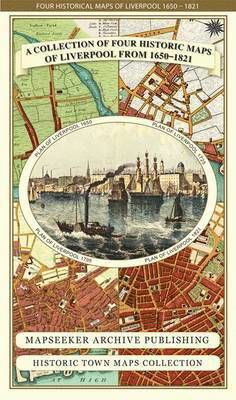
Liverpool 1650 to 1821 - Fold Up Map Containing Town Plans of Liverpool that include Liverpool 1650, 1725, 1795 and Sherwood's plan of Liverpool and Environs 1821 - Liverpool Historic Maps Collection Mapseeker Publishing Ltd.
Precio
$ 23,99
sin IVA
Pedido desde almacén remoto
Entrega prevista 3 - 13 de nov.
Recibe notificaciones sobre nuevos lanzamientos de Mapseeker Publishing Ltd.
Nuestros clientes opinan:


Añadir a tu lista de deseos de iMusic
Liverpool 1650 to 1821 - Fold Up Map Containing Town Plans of Liverpool that include Liverpool 1650, 1725, 1795 and Sherwood's plan of Liverpool and Environs 1821 - Liverpool Historic Maps Collection
Mapseeker Publishing Ltd.
This folded map (890mm 1000mm when unfolded) is an ideal souvenir for tourists to Liverpool and also a valuable reference resource for local and family history research. The larger Plan of Liverpool from 1824 is by Sherwood, reproduced in full colour for the first time working from the rare antique original.
1 pages
| Medios de comunicación | Libros Map (Cartas terrestres o náuticas) |
| Publicado | 25 de septiembre de 2014 |
| ISBN13 | 9781844918232 |
| Editores | Historical Images Ltd |
| Páginas | 1 |
| Dimensiones | 228 × 139 × 38 mm · 108 g |





![Cover for Paul Leslie Line · Wildfire Through Staffordshire - Armchair Time Travellers Railway Atlas (Hardcover Book) [Special edition] (2014)](https://imusic.b-cdn.net/images/item/original/976/9781844917976.jpg?paul-leslie-line-2014-wildfire-through-staffordshire-armchair-time-travellers-railway-atlas-hardcover-book&class=scaled&v=1400783719)