Recomienda este artículo a tus amigos:
Mapping the NC Coast: Sixteenth-Century Cartography and the Roanoke Voyages William P. Cumming
Precio
$ 16,99
sin IVA
Pedido desde almacén remoto
Entrega prevista 2 - 19 de nov.
Recibe notificaciones sobre nuevos lanzamientos de William P. Cumming
Nuestros clientes opinan:


Añadir a tu lista de deseos de iMusic
Mapping the NC Coast: Sixteenth-Century Cartography and the Roanoke Voyages
William P. Cumming
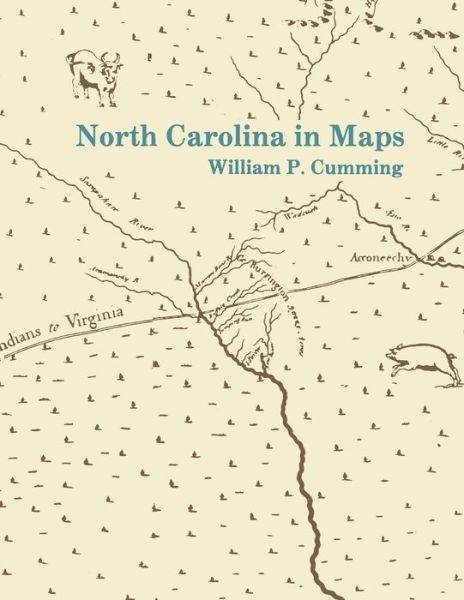
Examines the cartography known or available to the English colonists of 1584-1587 as well as that which they produced during their explorations. Includes twenty-eight map plates printed on high quality coated paper, the author's notes, and a useful appendix that lists sixteenth-century names for the southeastern North American coast and correlates them with modern names and landmarks.
156 pages
| Medios de comunicación | Libros Paperback Book (Libro con tapa blanda y lomo encolado) |
| Publicado | 30 de enero de 1988 |
| ISBN13 | 9780865262324 |
| Editores | The University of North Carolina Press |
| Páginas | 156 |
| Dimensiones | 254 × 355 × 19 mm · 333 g |
| Lengua | Inglés |